Geographic Information Systems (GIS) Certificate
Map Your Future with GIS
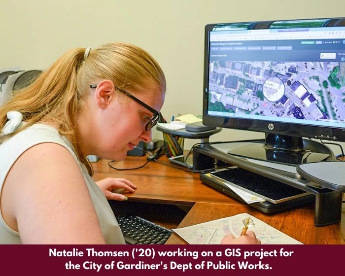
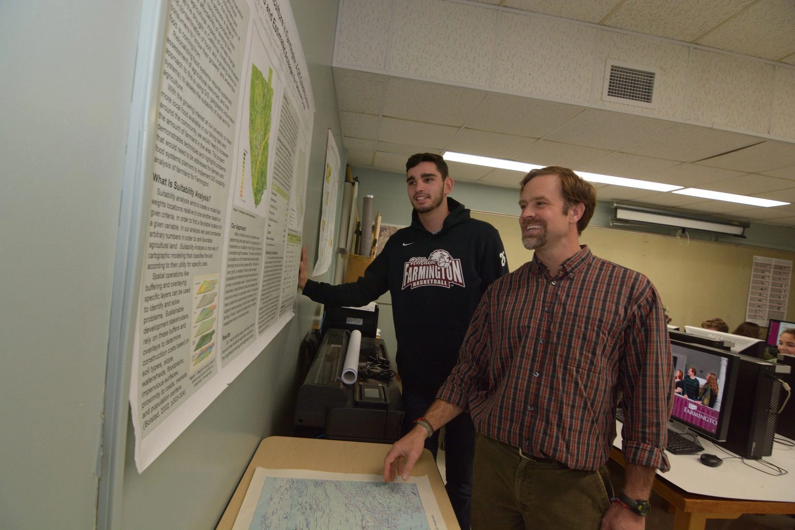
The University of Maine at Farmington (UMF) Geographic Information Systems (GIS) Certificate prepares you to use mapping, GPS, remote sensing, and spatial data analysis tools to solve real-world problems. GIS skills are in demand across fields including natural resources, environmental planning, public health, business, and public safety.
The program coordinates especially well with UMF’s bachelor’s degree program like Geography & Environmental Planning, Earth and Environmental Sciences, and Community and Public Health, but it is open to anyone, regardless of major or matriculation status. Completion of the certificate is recorded on the official UMF transcript. The program offers flexible course options, including online, on-site, and hybrid classes through UMF and partner institutions.
Program at a Glance
- Learning Format: Online or Blended
- Credit Hours: 14-16 credits
- Cost: $329/per credit
- Application deadlines: Year round admissions with flexible start dates